Day 1: Portoscuso to Carloforte
Nautical Miles: 6
Travel Time: 1 hour
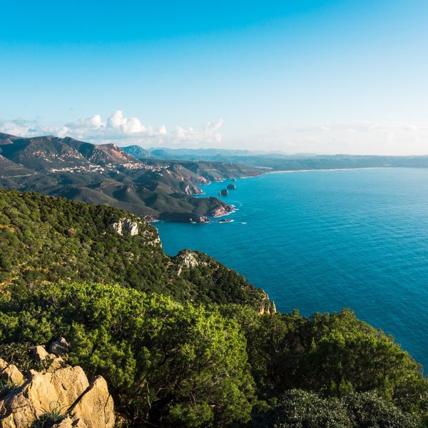
Your distinctive southwestern Sardinia journey begins at Portoscuso, the working port town on mainland southwestern coast serving as gateway to the Sulcis archipelago. After check-in at marina facilities (modest compared to northeastern resorts but adequate for departure), spend brief morning exploring if time permits—the town maintains authentic working character with fishing fleet, ferry connections to Carloforte, views across narrow channel to San Pietro Island, and unpretentious atmosphere. However, focus remains the very short crossing just 6 nautical miles west across the protected channel to Carloforte on San Pietro Island. This gentle first sailing day allows comfortable afternoon arrival providing extended time experiencing one of Sardinia's most culturally distinctive destinations. The volcanic San Pietro Island stretches approximately 51 square kilometers with distinctive dark basalt and tuff formations contrasting with granite and limestone dominating other Sardinian regions, rugged dramatic coastline, highest point Monte Guardia dei Mori at 211 meters, and the unique settlement history creating extraordinary cultural character.
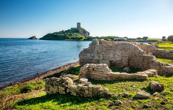
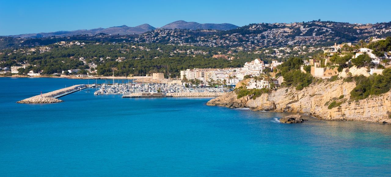
Arrive at charming Carloforte where the excellent marina provides comprehensive facilities and the elegant waterfront immediately reveals distinctive character unlike typical Sardinian towns. Navigate to secure berth, then explore this remarkable community—founded in 1738 when approximately 400 Genoese families from Tunisian island of Tabarka relocated here after their ancestors migrated from Pegli near Genoa in 1540s for coral fishing, maintaining Genoese identity through two centuries in North Africa before Tunisian Bey granted permission to settle uninhabited San Pietro. The town preserves unique Tabarchino dialect (archaic 16th-century Genoese still understood by mainland Genoese but containing Arabic loanwords from Tunisia period), distinctive Ligurian-style architecture with colorful buildings and external staircases resembling Cinque Terre more than Sardinia, elegant Piazza della Repubblica, Chiesa di Carlo Borromeo named for benefactor San Carlo Borromeo, narrow atmospheric streets, sophisticated restaurants, artisan shops, and palpable sense of cultural island within island. The famous bluefin tuna fishing traditions once created major industry with elaborate tonnara trap system, now commemorated in annual Girotonno festival (late May-early June) celebrating tuna with hundreds of creative preparations from traditional bottarga to modern fusion creating gastronomic pilgrimage. Evening dining at excellent waterfront trattorias serves outstanding seafood including tuna specialties, Ligurian-influenced dishes like farinata (chickpea flatbread) and pesto variations, fresh pasta, local wines, and the sophisticated yet authentic atmosphere. This gentle first day establishes itinerary character—short comfortable passages, unique cultural discoveries, authentic atmosphere, and the kind of distinctive experiences revealing southwestern Sardinia's alternative character beyond typical resort sailing creating immediate appreciation for regions maintaining genuine traditions and fascinating histories.
Route Highlights - Departing working port Portoscuso on mainland southwestern coast providing authentic gateway to distinctive Sulcis volcanic archipelago ahead.
- Very short 6-nautical-mile crossing to charming Carloforte founded 1738 by Genoese families from Tunisia maintaining unique Tabarchino dialect.
- Exploring Ligurian-style architecture, elegant Piazza della Repubblica, famous bluefin tuna heritage creating cultural island within island atmosphere.
Day 2: Carloforte to La Bobba & Western San Pietro
Nautical Miles: 8+
Travel Time: 1.5 hours
After morning exploration of Carloforte attractions perhaps missed yesterday—the small Museo Civico documenting island history and tuna fishing heritage, artisan shops selling traditional crafts, morning market with local products, waterfront promenade—prepare for circumnavigating San Pietro exploring the rugged dramatic western coastline contrasting with the protected eastern harbor side. Sail approximately 8 nautical miles (flexible based on anchorage choices) counterclockwise around the island passing initially the southern coast with hidden coves, then reaching spectacular western shore where volcanic cliffs plunge dramatically into cobalt blue water, numerous caves carved by wave erosion, sea stacks and rock formations, and exposed conditions from prevailing westerlies creating more challenging but spectacular scenery. La Bobba beach on southwestern shore offers excellent swimming anchorage when conditions permit—beautiful beach with volcanic dark sand contrasting with turquoise water, good holding, and relative protection creating popular destination.
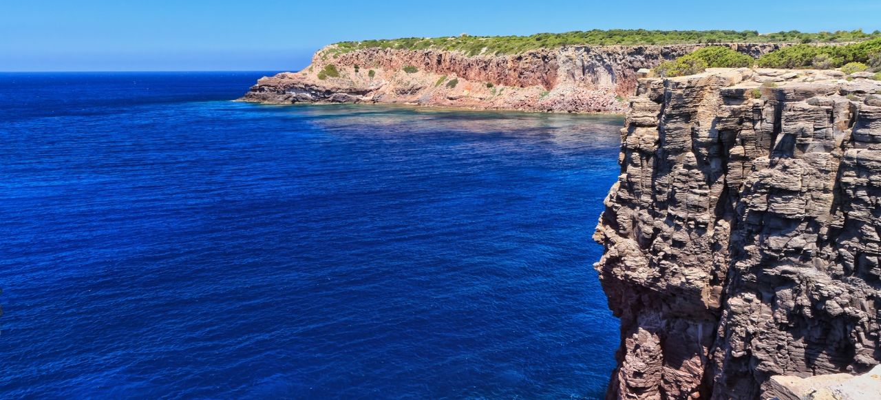
Continue north along dramatic western cliffs toward Capo Sandalo, the island's northwestern point where the distinctive lighthouse built 1864 perches atop 100-meter cliffs creating powerful presence visible from distance. The approach reveals spectacular scenery—vertical volcanic rock walls in dark basalt, numerous caves including Grotta dei Colombi and others, powerful wave action against exposed cliffs, seabirds nesting on ledges, and the kind of wild dramatic character contrasting with gentler eastern side. Anchor at selected cove along western or northern coasts respecting conditions—Cala Fico, Cala Vinagra, or others offering variations of volcanic rock beaches, excellent snorkeling revealing underwater formations and rich marine life, pristine character with minimal development, and the satisfaction of discovering San Pietro beyond charming Carloforte town revealing the island's complete diverse character. Optional hiking trail leads to Capo Sandalo lighthouse (approximately 30-minute walk from nearest road access if dinghying to appropriate cove) rewarding with spectacular panoramic views across sea toward Sant'Antioco, Sardinian mainland, and on clear days distant Corsica. Evening anchored along western coast creates peaceful atmosphere—spectacular sunset illuminating volcanic cliffs, often solitary position without crowds, starlit skies, and the kind of wild island experience contrasting with yesterday's sophisticated town atmosphere demonstrating San Pietro's dual character combining Genoese cultural sophistication with raw volcanic wilderness creating complete destination. Consider returning to Carloforte for secure overnight berthing if weather conditions make western anchorages uncomfortable, or remain at sea for adventurous experience depending on forecast and crew preferences—the short distances create ultimate flexibility adapting to conditions and personal choices rather than fixed itineraries.
Route Highlights - Circumnavigating San Pietro exploring dramatic western volcanic cliffs, caves, sea stacks contrasting with protected eastern harbor character.
- Anchoring La Bobba beach with volcanic dark sand and turquoise water, excellent swimming revealing island's complete diverse character.
- Exploring Capo Sandalo lighthouse area with 100-meter cliffs, spectacular views, wild exposed northwestern point creating dramatic scenery.
Day 3: San Pietro to Calasetta (Sant'Antioco)
Nautical Miles: 10
Travel Time: 2 hours
Depart San Pietro (from Carloforte or western anchorage based on previous night position) and sail 10 nautical miles northeast across the channel separating San Pietro from Sant'Antioco—Sardinia's fourth-largest island at 109 square kilometers and significantly more populated than San Pietro with approximately 11,000 residents compared to San Pietro's 6,000. Sant'Antioco connects to Sardinian mainland via causeway (originally Roman construction rebuilt and widened over centuries) creating the only Sardinian island accessible by road besides modern bridges. The passage reveals changing character from volcanic San Pietro toward Sant'Antioco's more varied geology including limestone, volcanic rocks, and sedimentary formations. Head toward Calasetta, the northern Sant'Antioco town positioned just 4 kilometers across narrow strait from San Pietro creating close geographical proximity despite distinct character—Calasetta was founded 1770 by Piedmontese families also from Tabarka creating second Genoese-Tabarchino community maintaining similar dialect and cultural heritage as Carloforte but developing separate identity over 250 years.
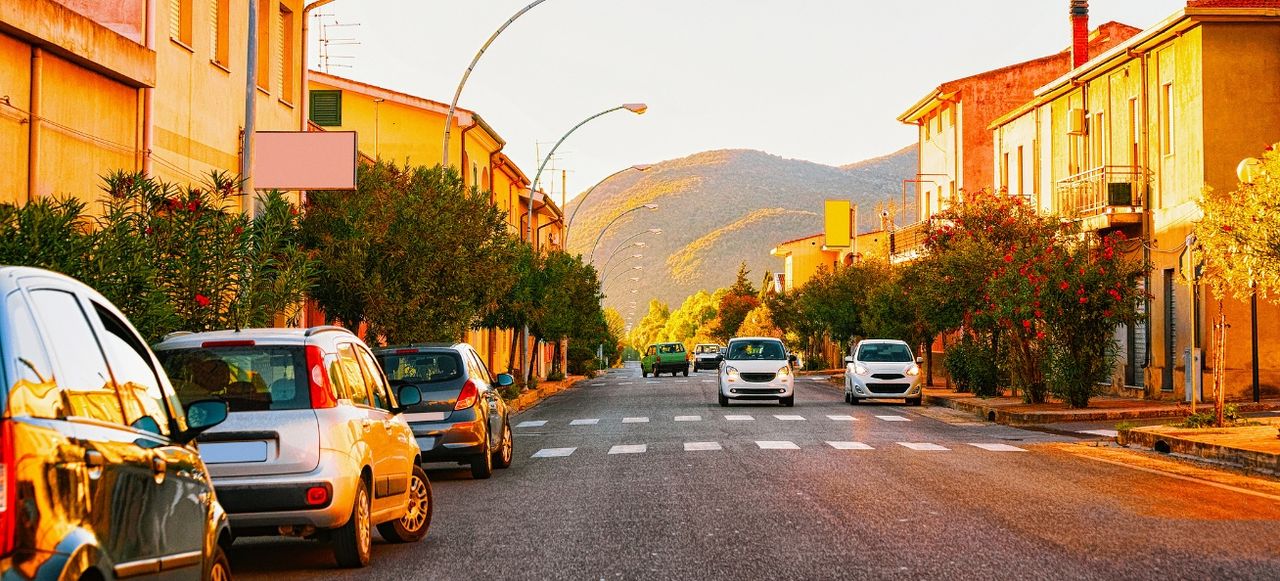
Arrive at Calasetta where good marina facilities provide services and the pleasant town offers exploration—similar Ligurian architectural character as Carloforte but smaller scale, waterfront promenade, Chiesa di San Carlo Borromeo, local restaurants, relaxed atmosphere, ferry connections. However, the primary attraction lies exploring Sant'Antioco's extraordinary ancient heritage—rent bicycles, scooters, or arrange transportation to Sant'Antioco town 7 kilometers south where crucial Phoenician-Punic archaeological sites document 3,000 years of continuous habitation. The ancient Sulcis city founded by Phoenicians from Tyre in 8th century BCE created one of the Mediterranean's earliest colonies, expanded under Carthaginian control, conquered by Rome in 238 BCE, continuing through Byzantine, medieval, and modern periods. Visit the remarkable tophet—sacred Phoenician-Punic open-air sanctuary with thousands of urns containing cremated remains creating controversial archaeological evidence of possible child sacrifice practices documented in ancient texts, the extensive necropolis with Punic hypogeum tombs carved into rock, Phoenician settlement ruins, impressive Archaeological Museum housing artifacts spanning millennia, and the Basilica di Sant'Antioco—early Christian church built atop Punic sanctuary housing remarkable catacombs with burial niches dating to 5th-6th centuries CE creating layers of religious continuity. The synthesis of Phoenician, Punic, Roman, and Christian heritage concentrated in one location creates essential archaeological destination revealing Sardinia's ancient Mediterranean connections. Evening return to Calasetta for dining at local trattorias serving fresh seafood and discussing the profound ancient heritage discovered, preparing for tomorrow's passage along spectacular mainland mining heritage coast with Pan di Zucchero and Porto Flavia bucket-list destinations ahead representing completely different southwestern character—from Genoese cultural islands to ancient Phoenician cities to 20th-century industrial archaeology creating layered complexity.
Route Highlights - Sailing 10 nautical miles northeast to Sant'Antioco—Sardinia's fourth-largest island connected by ancient Roman causeway still in use today.
- Arriving Calasetta founded 1770 by Tabarchino Genoese families creating second dialect community maintaining similar heritage as Carloforte.
- Exploring Sant'Antioco town's Phoenician tophet sanctuary, Punic necropolis, early Christian catacombs documenting 3,000 years continuous habitation.
Day 4: Calasetta to Pan di Zucchero & Porto Flavia
Nautical Miles: 14
Travel Time: 2.5 hours
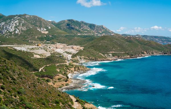
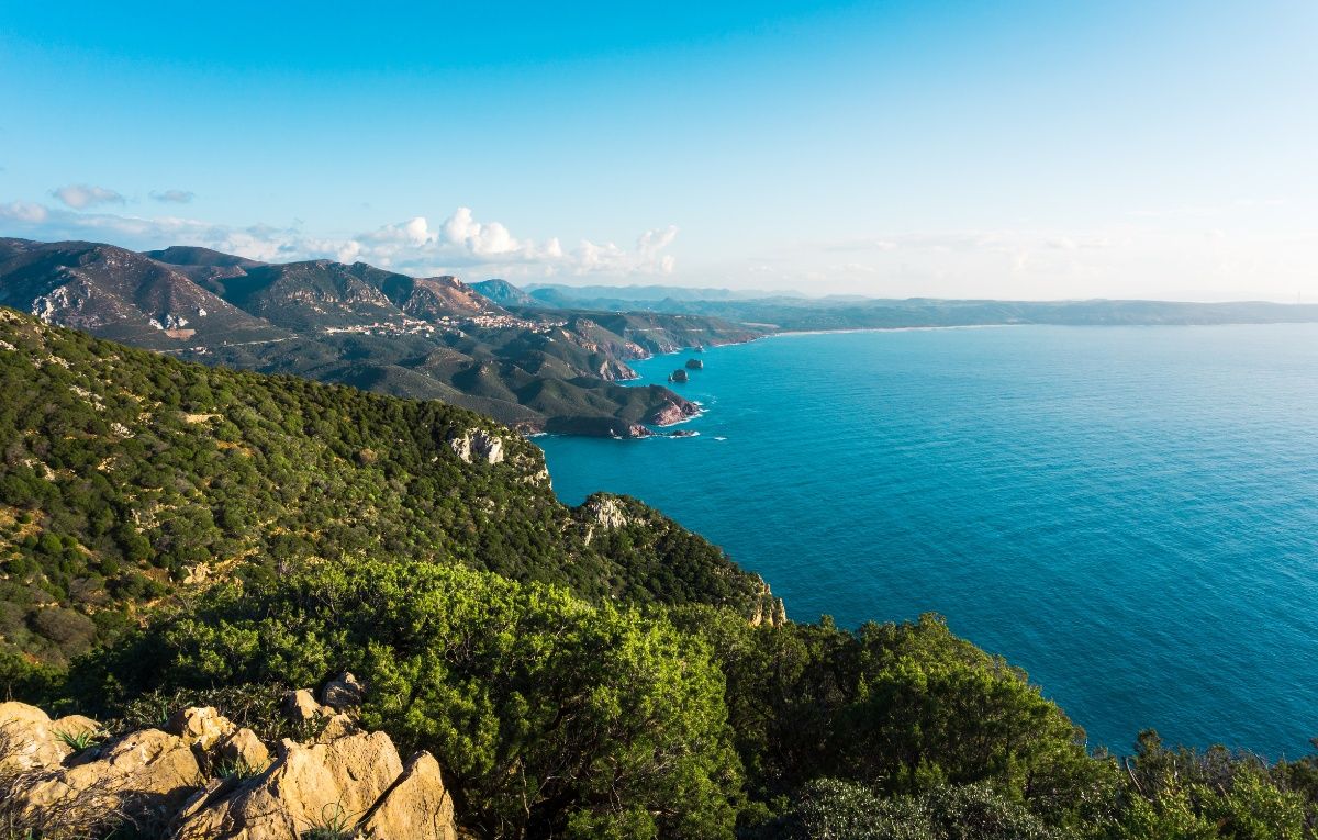
Today brings one of your journey's absolute highlights—sailing 14 nautical miles east along southwestern Sardinian mainland coast toward the spectacular mining heritage region around Masua. Depart Calasetta crossing back toward mainland, then turn south following increasingly dramatic coastline revealing abandoned mining infrastructure merged with natural beauty—old railways, tunnel entrances, processing buildings, loading facilities documenting the significant 19th-20th century mining boom when southwestern Sardinia extracted zinc, lead, coal, and other minerals creating major European production employing thousands of workers. The coast becomes increasingly spectacular as you approach Masua—vertical limestone and dolomite cliffs rising hundreds of meters, turquoise water achieving 25-30 meter visibility, hidden coves, and eventually the iconic profile of Pan di Zucchero (Sugar Loaf) emerging ahead creating immediate recognition of one of Sardinia's most photographed landmarks representing southwestern coastal perfection combining natural geological drama with industrial archaeology heritage.
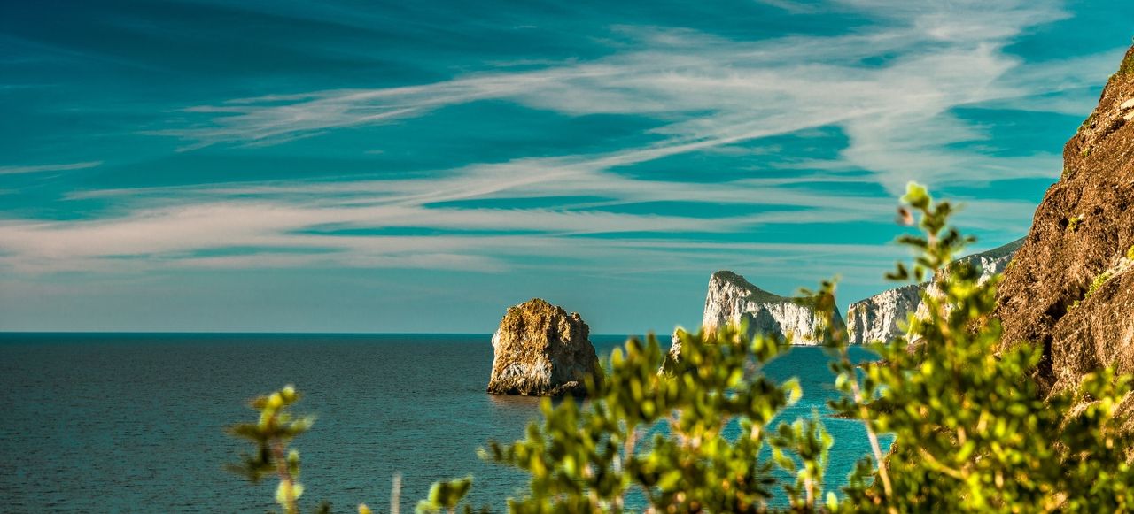
Sail close beneath extraordinary Pan di Zucchero—the spectacular 133-meter sea stack of white limestone and dolomite rising dramatically just offshore from Masua beach creating powerful presence. The massive monolith towers vertically from deep water, seabirds nest on ledges, the sheer scale creates awe, and the distinctive shape visible from great distance creates instant recognition. Anchor carefully near Masua beach (attention to depth, exposure, bottom conditions) or continue short distance north to spectacular Porto Flavia—the remarkable industrial archaeology site representing southwestern Sardinia's mining heritage pinnacle. The extraordinary structure built 1922-1924 by mining engineer Cesare Vecelli solved the problem of efficiently loading ore from inland Montecani and Montevecchio mines onto ships without conventional harbor facilities—two tunnels excavated 600 meters into vertical coastal cliffs at 50 meters above sea level, with loading platforms extended over ocean allowing zinc-lead ore and coal to pour directly through chutes into ships positioned below, storing up to 10,000 tons of material in silos, operating until 1991 closure. Navigate close to cliffs viewing the dramatic structure from water—tunnels visible, loading platform remains, the engineering marvel creating bucket-list sight. Optional guided tours (arrange at nearby facilities or Masua) allow walking through tunnels experiencing the remarkable construction while learning mining history and viewing spectacular clifftop perspectives. Evening anchored near Masua beneath Pan di Zucchero creates magical experience—sunset illuminating the white sea stack golden, industrial ruins creating haunting atmosphere, and the synthesis of natural beauty with human engineering creating unique southwestern character unlike anywhere else in Sardinia demonstrating the region's distinctive mining heritage integrated with spectacular coastal geology.
Route Highlights - Sailing 14 nautical miles along mining heritage coast with abandoned infrastructure merged into dramatic limestone cliffs creating unique character.
- Passing beneath iconic Pan di Zucchero—spectacular 133-meter white limestone sea stack rising dramatically offshore creating Sardinia's landmark.
- Discovering extraordinary Porto Flavia built 1922-1924—tunnels into vertical cliffs with ore loading platforms representing engineering marvel heritage.
Day 5: Pan di Zucchero to Porto Pino
Nautical Miles: 18
Travel Time: 3 hours
After optional morning final exploration of Pan di Zucchero and Porto Flavia with sunrise illuminating the white sea stack in dramatic light creating photographer's ideal conditions, prepare for today's passage 18 nautical miles east then southeast along southern Sardinian coast toward Porto Pino. The route continues initially along mining heritage coastline with occasional abandoned structures, then transitions to more natural character as you round southwestern cape and head east along southern shore. Pass Capo Teulada, Sardinia's southernmost point where military installations mark the beginning of extensive NATO training zone restricting access to large coastal section (tomorrow's destination), then approach Porto Pino where the distinctive promontory extends south creating two separate beaches flanking it. The anticipation builds for discovering one of southern Sardinia's finest beach destinations combining Caribbean-quality turquoise water with extensive dune systems and pristine natural environments relatively undeveloped compared to northern resort areas.
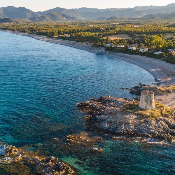
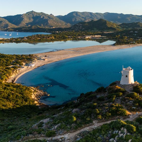
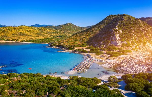
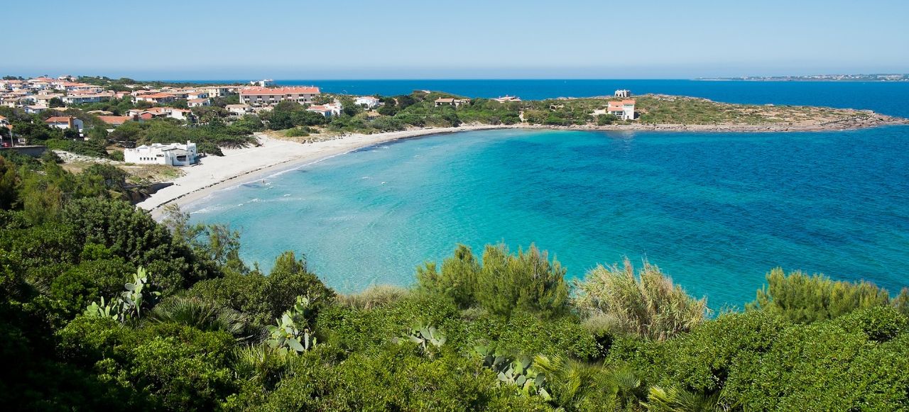
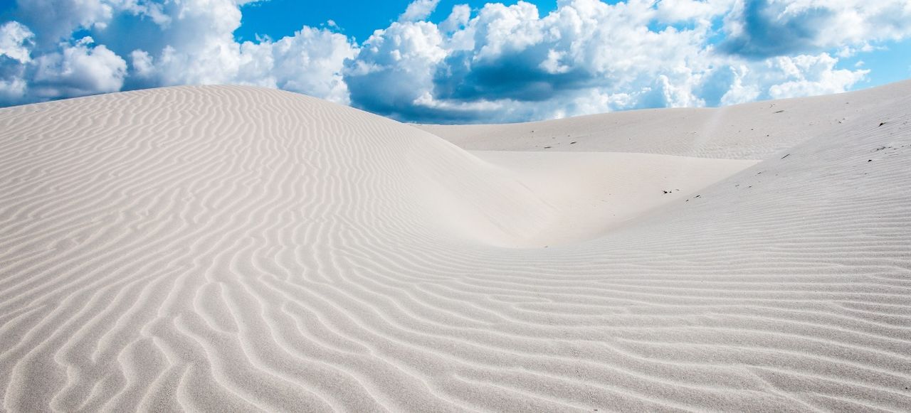
Arrive at magnificent Porto Pino where two distinct beaches create dual character—the eastern Spiaggia di Porto Pino offers spectacular 4-kilometer crescent of brilliant white sand backed by extensive dune systems reaching 30 meters height and dense pine forests (pino means pine giving the area its name) creating protected natural environment with minimal development. The western side features more intimate scale with shallow lagoon-like turquoise water, sandbars extending offshore creating incredibly shallow conditions perfect for swimming, and the kind of Caribbean-quality perfection rivaling famous northeastern beaches. Anchor carefully respecting the natural environment (attention to shallow depths, sandy bottom providing good holding, protection from prevailing winds) or secure marina berth at nearby facilities if available and desired. The area offers exceptional swimming in pristine water, beach walking along endless sand, exploring extensive dune systems hosting Mediterranean vegetation and wildlife, photographing spectacular scenery, and discovering pink flamingos feeding in coastal wetlands behind beaches creating wildlife interest. The relative lack of development compared to northeastern Sardinia creates authentic atmosphere—simpler facilities, local restaurants serving fresh seafood without tourist inflation, genuine hospitality, and the satisfaction of discovering pristine southern beaches maintaining natural character. Evening dining at beachfront restaurants or aboard enjoying sunset views across shallow turquoise water creates peaceful atmosphere while planning tomorrow's adventure into secluded Teulada military zone—the journey's final highlight representing southwestern Sardinia at its wildest and most restricted where NATO training area inadvertently created wilderness protection preserving pristine coastline from development similar to Asinara prison island conservation success demonstrating how human exclusion allows nature to flourish creating bucket-list secluded destinations accessible by properly authorized yacht exploration.
Route Highlights - Sailing 18 nautical miles east along southern coast transitioning from mining heritage to pristine natural character approaching Porto Pino.
- Arriving magnificent Porto Pino with 4-kilometer white sand crescent backed by 30-meter dunes and pine forests creating protected natural beauty.
- Swimming Caribbean-quality turquoise shallows, exploring dune systems, discovering pink flamingos in coastal wetlands creating pristine southern paradise.
Day 6: Porto Pino to Teulada Military Zone
Nautical Miles: 8+
Travel Time: 1.5 hours
Today explores one of Sardinia's most restricted and consequently pristine territories—sailing west back toward Capo Teulada and the extensive military zone where NATO training exercises since 1956 closed large coastal sections to civilian access inadvertently creating wilderness protection preserving pristine beaches, endemic wildlife, Mediterranean ecosystems, and the kind of untouched natural character increasingly rare in developed Mediterranean. CRITICAL PLANNING NOTE: Teulada military zone requires checking firing schedules and obtaining proper authorization before entering restricted areas—when exercises occur the zone closes completely to civilian traffic including yachts, but during non-exercise periods (typically July-August and weekends year-round though variable) certain areas become accessible with attention to marked boundaries and regulations. Coordinate with harbor authorities at Porto Pino or Teulada regarding current access status before attempting entry. Sail approximately 8 nautical miles west (flexible based on authorized anchorage access) along increasingly remote coastline revealing the dramatic change from accessible Porto Pino toward completely undeveloped military zone shores—no buildings, no infrastructure, pristine beaches without any facilities, and palpable wilderness atmosphere.
Navigate carefully respecting military zone boundaries (clearly marked on nautical charts and by buoys) to authorized anchorages when access permits—possibilities include Cala Pisano, Tuerredda beach consistently ranked among Sardinia's most beautiful with brilliant turquoise water and white sand in protected cove, Porto Tramatzu, and others depending on current restrictions. The extraordinary wilderness character creates powerful impression—completely pristine beaches without any development, crystal-clear water achieving exceptional visibility, endemic wildlife including Sardinian deer occasionally visible on shores, Mediterranean vegetation undisturbed by tourism, and the profound silence broken only by nature sounds creating meditation on accidental conservation where military exclusion preserved ecosystems similarly to Asinara prison island demonstrating how human restriction allows nature to flourish. Swimming, snorkeling, beach exploration, and simply experiencing pristine wilderness create bucket-list experiences unavailable at developed beaches. The restricted access means when entry is permitted, visitor numbers remain minimal creating often-solitary positions without crowds found elsewhere. Evening anchored in wilderness creates magical atmosphere—spectacular sunset over undeveloped coastline, stars brilliant without light pollution, wild character, and satisfaction of discovering Sardinia's most secluded territories. The flexibility of timing this exploration based on military schedules demonstrates proper voyage planning adapting to conditions and regulations rather than fixed itineraries—if Teulada zone remains closed during your period, alternative options include extended time at Porto Pino, exploring nearby Chia beaches further east, or repositioning toward Cagliari depending on preferences and schedule. However, when accessible, Teulada wilderness represents southwestern Sardinia's absolute pinnacle of pristine untouched character creating unforgettable experiences concluding your journey revealing the region's complete extraordinary diversity from Genoese cultural islands to ancient Phoenician heritage to mining archaeology to pristine southern beaches to restricted wilderness zones.
Route Highlights - Exploring Teulada military zone where NATO training restrictions since 1956 inadvertently preserved pristine wilderness coastal ecosystems.
- Accessing authorized anchorages including stunning Tuerredda ranked among Sardinia's finest with turquoise water and completely undeveloped character.
- Experiencing bucket-list wilderness with endemic Sardinian deer, pristine beaches, profound silence creating accidental conservation success story.
Day 7: Teulada to Disembarkation Point
Nautical Miles: 6+
Travel Time: 1 hour
Your final sailing day brings flexible short passage from Teulada wilderness anchorages to appropriate disembarkation point based on departure logistics and preferences. Options include returning east to Porto Pino (approximately 6 nautical miles) offering marina facilities and good road connections, continuing northeast to Chia area (additional distance) with beautiful beaches and services, or proceeding toward Cagliari region marinas (substantially longer but providing capital city access and excellent airport connections at Cagliari-Elmas just 7 kilometers from city). Most commonly, the journey concludes returning to Porto Pino where secure berthing allows convenient check-out procedures, the positioning provides reasonable logistics to Cagliari Airport approximately 60 kilometers northeast via good roads, and the pleasant beach resort atmosphere creates comfortable conclusion. Alternatively, some charters arrange one-way termination at different port depending on itinerary preferences and company policies—discuss options with charter operator during planning.
Complete check-out procedures and prepare for disembarkation, carrying memories of extraordinary southwestern Sardinia sailing week—7 days and approximately 70 nautical miles revealing the island's most distinctive and underappreciated territories. You have experienced volcanic Sulcis archipelago with charming Carloforte founded 1738 by Genoese families from Tunisia maintaining unique Tabarchino dialect and Ligurian cultural character creating linguistic island within island, explored dramatic San Pietro western cliffs and Capo Sandalo lighthouse revealing volcanic geology and wild character, discovered Calasetta second Tabarchino community and Sant'Antioco's extraordinary Phoenician-Punic archaeological heritage including 8th-century BCE tophet sanctuary and early Christian catacombs documenting 3,000 years continuous habitation, sailed beneath iconic Pan di Zucchero 133-meter white limestone sea stack, explored remarkable Porto Flavia built 1922-1924 with tunnels carved into vertical cliffs and loading platforms representing extraordinary mining engineering heritage when southwestern Sardinia produced major European mineral output, swam at magnificent Porto Pino beaches with 4-kilometer white sand dunes and Caribbean-quality turquoise shallows backed by pine forests and flamingo wetlands, and ventured into secluded Teulada military zone wilderness where NATO restrictions inadvertently preserved pristine untouched ecosystems demonstrating accidental conservation success. This southwestern passage revealed completely different Sardinian character from famous northeastern regions—volcanic geology replacing granite and limestone, Genoese and Phoenician cultural heritage contrasting with Nuragic and Catalan elsewhere, significant 19th-20th century mining history creating unique industrial archaeology integrated with natural beauty, pristine southern beaches rivaling celebrated destinations without development pressure, restricted wilderness zones, authentic atmosphere maintaining genuine traditions, and the layered complexity spanning ancient Mediterranean trading civilizations through modern military restrictions creating fascinating synthesis. Arrivederci from southwestern Sardinia, and until your next island sailing adventure, carry forward profound appreciation for regions maintaining distinctive character beyond resort development—where unique Genoese dialect communities preserve 280-year heritage from Tunisia origins, ancient Phoenician sites document Mediterranean's earliest colonial expansion, abandoned mining infrastructure tells stories of industrial boom and decline, pristine beaches maintain natural perfection, military exclusion inadvertently protects wilderness, and the synthesis creates compelling alternative to typical tourist circuits demonstrating Sardinia's extraordinary diversity within just 70 nautical miles representing the Sulcis region at its most authentic, historically layered, scenically spectacular, and genuinely distinctive for those seeking cultural depth combined with natural beauty and the satisfaction of discovering territories bypassed by mass tourism offering rewarding experiences revealing southwestern Sardinia's complete fascinating character.
Route Highlights - Flexible final day with short passage to Porto Pino, Chia, or other disembarkation point based on logistics and preferences completing journey.
- Journey reflection—from Carloforte Genoese heritage through Sant'Antioco Phoenician sites to Pan di Zucchero mining coast to Teulada wilderness.
- Carrying memories of southwestern Sardinia's extraordinary diversity—volcanic islands, ancient heritage, industrial archaeology, pristine beaches, authentic character.